
Top Stories
Colorado Mountains Brace for New Year’s Snow, Warmth Follows

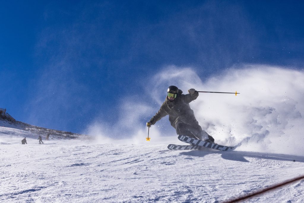
UPDATE: Colorado’s mountains are set to receive fresh snowfall as New Year’s Day approaches, but warmer temperatures will quickly follow, impacting snow conditions. This snowfall is expected to begin around 11 a.m. across the mountain regions, with some areas potentially seeing rain as early as 5 a.m., according to the National Weather Service.
The anticipated snow and rain will affect key resorts from Steamboat Springs to Aspen, yet the warm system raises concerns about snowpack viability. As the state transitions back to typical winter weather, the forecast indicates that snowfall could last through late Friday morning, but totals will be limited.
Following a weekend storm that delivered between 1-12 inches of snow, conditions across the mountains have improved slightly. However, the upcoming storm is expected to bring only 1-6 inches more, which experts say won’t significantly impact the already low snowpack levels. Joel Gratz, meteorologist at OpenSnow, notes that while the storm will bring moisture, its weak energy and warm temperatures will limit snowfall effectiveness.
In a stark reminder of Colorado’s fluctuating winter conditions, Wednesday will see temperatures soaring to highs in the mid-40s to mid-50s in central mountain towns, with northern areas reaching the high-30s to low-40s. This trend marks a concerning pattern as temperatures remain around 10 degrees above normal, as reported by Erin Walter, a hydrologist at the National Weather Service.
The potential for rain mixed with snow raises alarms for the snowpack, which is currently at the third percentile of average levels—between 50-70%—according to data from the United States Department of Agriculture. Walter emphasizes, “To start seeing some rain on our snowpack this early on, it’s certainly not ideal.”
Despite the upcoming storm, the long-term forecast hints at potential improvements, with additional snowfall opportunities projected around January 5, January 7, and between January 9-11. As conditions remain precarious, Gratz reassures that multiple chances for snow in the upcoming days could alter the situation positively.
Currently, the overall snowpack remains well below normal, impacting the terrain open for skiing. Resorts like Wolf Creek, Silverton, Monarch, and Ski Cooper are among those with the most terrain available, although overall options are limited due to low snowfall levels this season.
As Colorado’s mountains experience these dynamic weather changes, residents and visitors should stay informed about conditions and prepare for the warm weather that will follow New Year’s snowfall. The coming days will be crucial for determining the future of the winter season in the Rockies.

Urgent Swatting Incident Ties Up Emergency Resources in Alabama

Urgent Tax Alert: Claim Your Deductions Before April 15!

Scientists Investigate Cosmic Defects: Where Are They Now?

Spring Bocce Leagues Open Registration in Rapid City

CALV Offers Essential Communication Class for Real Estate Pros

Samsung Galaxy Watch 9 Set for Larger 435mAh Battery Upgrade

Healthy Choice Wellness Reports Earnings, Stock Sees Uptick

Prince Harry Claims to Be ‘Antidote to Andrew’ Amid Royal Crisis

Pet Owners Weigh Kibble Against Fresh Dog Food Options

ALMA Discovers Companion Orbiting Giant Star π 1 Gruis

U.S. Visa Rescheduling Hits H‐1B Applicants as New Vetting Rules Take Effect

University of Hawaiʻi Joins $25.6M AI Project for Disaster Monitoring

F-22 Raptor vs. Su-57 Felon: A 2025 Fighter Jet Comparison

Recent Divorce Judgments from Iberia Parish Court Records

Ohio State Study Uncovers Brain Connectivity and Function Links

Prince Andrew Faces Fallout from Scandals and Allegations

Urgent: Flight Cancellations Loom at Texas Airports Amid Shutdown

Frank Dunn, Esteemed Builder and Community Leader, Passes Away at 89
-
 Science8 months ago
ALMA Discovers Companion Orbiting Giant Star π 1 Gruis
-
 Politics6 months ago
U.S. Visa Rescheduling Hits H‐1B Applicants as New Vetting Rules Take Effect
-
Science8 months ago
University of Hawaiʻi Joins $25.6M AI Project for Disaster Monitoring
-
 World8 months ago
F-22 Raptor vs. Su-57 Felon: A 2025 Fighter Jet Comparison
-
 Politics8 months ago
Recent Divorce Judgments from Iberia Parish Court Records
-
 Science9 months ago
Ohio State Study Uncovers Brain Connectivity and Function Links
-
 World9 months ago
Prince Andrew Faces Fallout from Scandals and Allegations
-
 Top Stories8 months ago
Urgent: Flight Cancellations Loom at Texas Airports Amid Shutdown
-
 Lifestyle8 months ago
Frank Dunn, Esteemed Builder and Community Leader, Passes Away at 89
-

 Business8 months ago
Appian Recognizes 2025 Partner Award Winners for Enterprise Innovation
-

 Entertainment7 months ago
Malachi Barton Tops Google Searches as Disney’s Rising Star of 2025
-

 Top Stories7 months ago
Republican Matt Van Epps Wins Tennessee Special Election